
Elevation is a simple concept at first glance — it’s just how high a place is above sea level. But when you begin to look closer, you find that elevation influences a surprising number of natural and human phenomena. From the types of plants that grow to changes in climate, and even to how cities develop, elevation shapes the layers of the world around us in ways both obvious and subtle. This multi-layered effect invites curiosity and wonder, as it helps explain many patterns we observe in the environment every day.
Understanding the Elevation Effect on Urban Environments
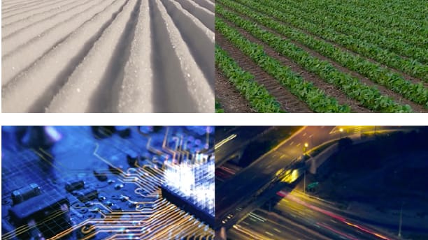 Elevation plays a pivotal role in shaping cities and their surroundings. For example, metro areas situated at higher elevations often experience distinct weather patterns and environmental challenges compared to lower-lying regions. These differences impact infrastructure planning, water management, and even real estate development. Elevated areas can offer cooler temperatures and scenic vantage points but may also introduce complexities such as steeper roadways and more extreme weather conditions. Understanding how elevation affects these urban layers helps city planners and residents anticipate and adapt to their unique environments.
Vegetation Layers and Elevation Gradients
 One of the most apparent ways elevation demonstrates its effect is in the diversity and distribution of vegetation. As elevation increases, the climate shifts — temperatures drop, humidity can change, and soil conditions evolve. This creates distinct vegetation zones or layers, often visible as bands of different forest types or plant communities along a mountain slope. Changes in elevation mimic the effect of traveling from the equator toward the poles, condensing vast ecological zones into vertical slices. These plant layers reveal the complex interaction between altitude and life, highlighting how elevation molds ecosystems.
Elevation’s Role in Shaping Climate and Weather Patterns
 Elevation significantly influences local climate conditions, which in turn affect everything from precipitation to temperature extremes. Higher elevations tend to be cooler due to the thinning atmosphere, which can suppress heat retention. This cooling influences weather patterns by affecting how air masses move and where clouds form. In mountainous regions, elevation-driven microclimates become critical for biodiversity and water cycles. Understanding these climatic layers is essential for assessing the impact of climate change, as shifts in temperature and precipitation patterns can disrupt the delicate balance shaped by elevation over millennia.
Elevation and the Complexities of Climate Change
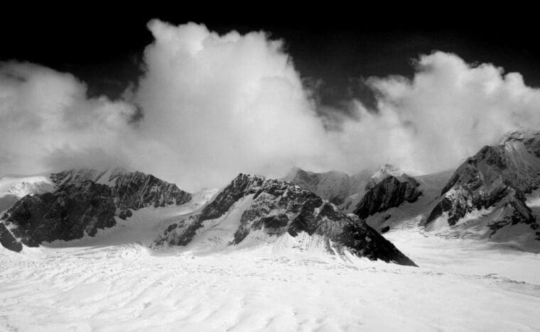
 As climate change accelerates, elevation’s influence grows even more important. High-altitude environments are especially vulnerable to warming, which can lead to melting glaciers, changing snowpack patterns, and altered vegetation zones. These changes cascade through ecosystems and human communities that depend on mountain resources for water, agriculture, and tourism. The vertical layering caused by elevation thus becomes a frontline for observing and understanding the multifaceted impacts of global climate shifts. Studying these patterns helps scientists and policymakers prepare for changing realities.
Mapping Elevation: Thematic Layers and Terrain Analysis
 Elevation doesn’t exist in isolation; it interacts with other physical characteristics such as slope, aspect (the direction a slope faces), and curvature. Together, these thematic layers create a detailed understanding of terrain — crucial for environmental studies, land use planning, and hazard assessment. Elevation is the foundational layer that informs how sunlight hits the earth, where water flows, and what kinds of soils form. By analyzing these connected layers, researchers can uncover deeper patterns in topography, vegetation, and human activity, revealing why elevation continues to fascinate and inform us across disciplines.